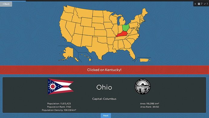
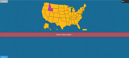
A deck for the 50 states in the US, and the (United States Census Bureau) regions they are located in. This deck uses an interactive map, so you can either enter the state names, or locate them by clicking on the map.
(This deck uses experimental features of Kitsun, visit the forums if you encounter any issues.)
The deck contains the 50 states and 9 regions of the US, along with statistical data from 2019.
Currently there are two layouts:
- Marked on Map: a state/region is highlighted on the map, and you have to type in its name
- Click on Map: you are given the name and must locate and click it on the map
The origin of all data and images are public domain (from Wikipedia/Wikidata).
New features compared to the Japan deck:
- Flags and seals as images
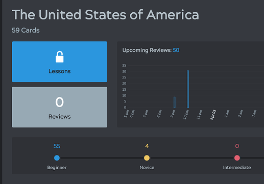
- Specific designs for the lessons added
Known issues:
- The text of a clicked answer (“Clicked on X”) comes from an HTML id, such that spaces are not allowed. So currently it is “New_York”, etc.


 Loving all the geography decks, really.


